PhotoLinker 是一款Mac上优秀的照片地图位置信息标记工具,可以方便的为照片添加全球GPS位置信息元数据,简单易用,很不错!
软件介绍
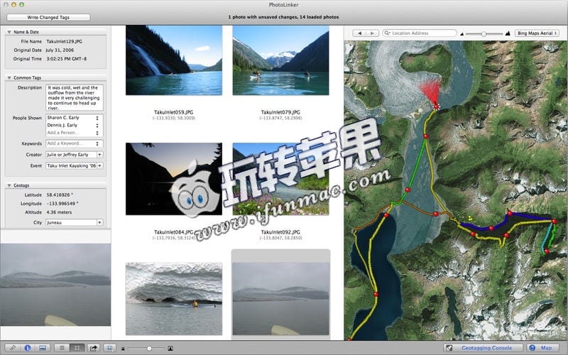
PhotoLinker provides an unprecedented level of map, GPS track and photo tag interactivity, making photo annotation a compelling project and not a dreadful chore. Whether your photos are geotagged using PhotoLinker or automatically geotagged using your camera, PhotoLinker lets you interact with and explore your photos on a variety high quality maps. Metadata Working Group compliance ensures that your annotations are read from and written to your photos using new industry standards.
Map your photos and explore your tracks
• Explore your geotagged photos on a variety of high quality maps
• Add and display image direction
• Fine tune the image direction added by your camera
• Explore your GPS track history on a variety of maps
• View information about individual track points or the entire track
• Stylize your tracks and waypoints choosing size, border and fill color


